Trying to prepare for this trek the night before, I realize that the internet provides me with only little and dispersed information about the hike. Therefore, I will dedicate this post to providing a little more information for those that in the future might want to try the trail, one which I highly recommend.

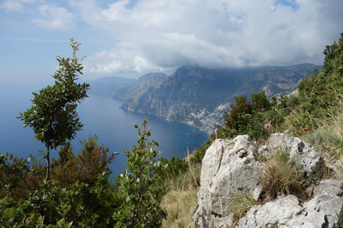
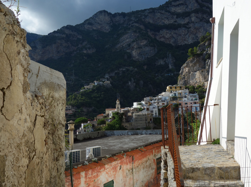
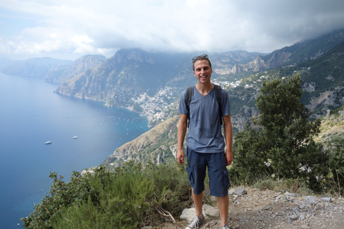
The trail begins in Bomerano. I take it to the beaches of Positano through Nocelle, and then figure out the public busses for my return route. Some guides will say the trail starts in Bomerano, and others will say Agerola. Conveniently, they are the same thing—Bomerano is a part of Agerola. If you have a car, there is a free, nearby parking lot. If you are on foot, there are buses that run to Bomerano from Almalfi.
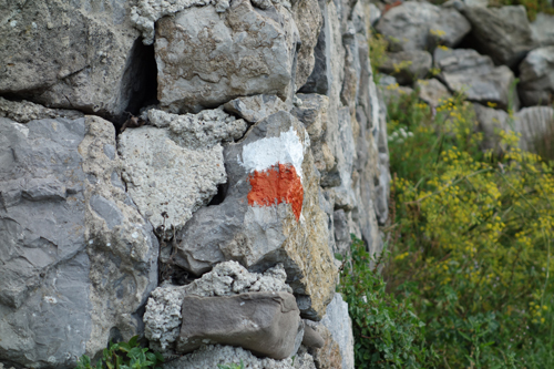
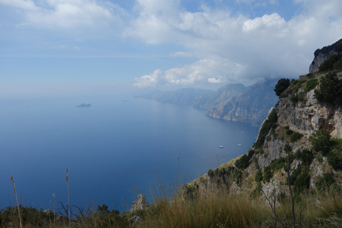
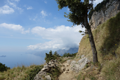
From Bomerano, there is a small sign off of the main piazza that indicates the trailhead. Ask any shop owner and they will point you in the right direction; otherwise, the rather understated sign is easy to miss. Luckily, from this point, the trail is remarkably well indicated to Nocelle. There are signs, there are red and white paint marks and there are decent trails, which help to differentiate what is the path versus everything else. At Nocelle, there is not necessarily one route down to Positano and all routes require a nice descent. Some options are more road-based while others are more stair-based. I took the stair option and loved the views that it provided. Again, if you ask local shop owners how to get down to Positano, they can be very helpful. I have also included the path that I took in this post for reference.
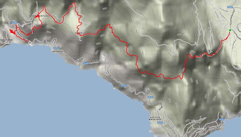

Upon reaching Positano, get on the bus to Almalfi and then connect from there to Bomerano. There are not too many busses to Bomerano and they fill up quickly so be sure to check the schedule and to board the bus with some buffer so that you have a seat.
Different sources that I used while researching the trail included these helpful sites:
giovis.com
walkopedia.net
ondaverde.it
